| OS
Win 3.1x , Win95 , Win98 , WinME , WinNT 3.x , WinNT 4.x , WinXP , Windows2000 , Windows2003 , Windows Tablet PC Edition 2005 , Windows Media Center Edition 2005 , Windows Vista Starter , Windows Vista Home Basic , Windows Vista Home Premium , Windows Vista Business , Windows Vista Enterprise , Windows Vista Ultimate , Windows Vista Home Basic x64 , Windows Vista Home Premium x64 , Windows Vista Business x64 , Windows Vista Enterprise x64 , Windows Vista Ultimate x64 , Windows CE , Windows Mobile 2003 , Windows Mobile 2005 , Unix , Linux , Linux Console , Linux Gnome , Linux GPL , Linux Open Source , MS-DOS , AS/400 , OS/2 , OS/2 Warp , OS/2 Warp 4 , MAC 68k , Mac PPC , Mac OS 9 , Mac OS X , Mac OS X 10.1 , Mac OS X 10.2 , Mac OS X 10.3 , Mac OS X 10.4 , Mac OS X 10.5 , Mac Other , Palm OS 1.0 , Palm OS 2.0 , Palm OS 2.1 , Palm OS 3.0 , Palm OS 3.1 , Palm OS 3.2 , Palm OS 4.0 , Palm OS 5.0 , Palm OS 6.0 , Pocket PC , RIM , Symbian , OpenVMS , Netware , BEOS , Java , Handheld/Mobile Other
|

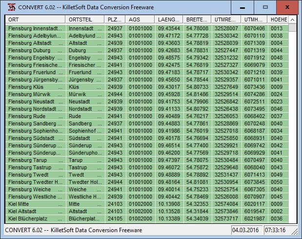
 Geo data German Streets
 Downloads
: 260
Downloads
: 260