Geo data international world-wide
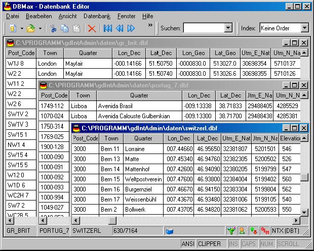
Geo data international world-wide with towns, town quarters and postal codes. Georeferences as UTM- and geographic coordinates (WGS84, ETRS89) and elevations. Suitable for branch searches, periphery searches and distance computations. These countries are available: Albania, Andorra, Belgium, Bosnia, Bulgaria, Denmark, Estonia, Finland, France, Georgia, Gibraltar, Greece, Great Britain, Ireland, Italy, Ex Yugoslavia, Canada, Croatia, Latvia, Liechtenstein, Lithuania, Luxembourg, Malta, Macedonia, Mexico, Moldavia, Monaco, Netherlands, Norway, Austria, Poland, Portugal, Romania, Russia, San Marino, Sweden, Switzerland, Slovakia, Slovenia, Spain, Czech Republic, Turkey, Ukraine, Hungary, Vatican, White Russia, USA, Australia, Cyprus and numerous more. The download contains a test composition of data cutouts of a lot of countries in different file formates and the precise data description. Here the available data fields of the tables are given: National identification of the country, postal zip code, town name, town quarter name, local administrative recognition (municipality key), geographical longitude and geographical latitude in degree and deg/min/sec note, UTM easting and UTM northing on the natural and an uniformal meridian strip, Ground elevation over the sea level, up to 3 hierarchical administrative units, which are superordinate the place. First the data base tables are present in a standard file format (CSV, UTF8 character set). This format is used often and in most cases you can import data directly into your own data system. In addition the data foundation tables can be converted using the downloadable freeware system CONVERT into different data formats with the required characteristics, selections and type sequences. Such as you can convert the data in to the SDF format (Simple Document Format) or into the dBase format (Borland) using character sets ASCII, ANSI or UTF8 or direct in MySQL.
|

 Geodaten International Admin
 Downloads
: 261
Downloads
: 261